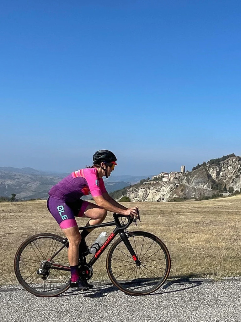
Discovering Romagna with our bike tours
Different lengths and difficulty levels, suitable to every cyclist need!
Hotel Sarti offers all guests a unique opportunity to explore the beauty of the Romagna hinterland and beyond, with bike routes suitable for all levels of difficulty, with different lengths, even with mountain bikes.
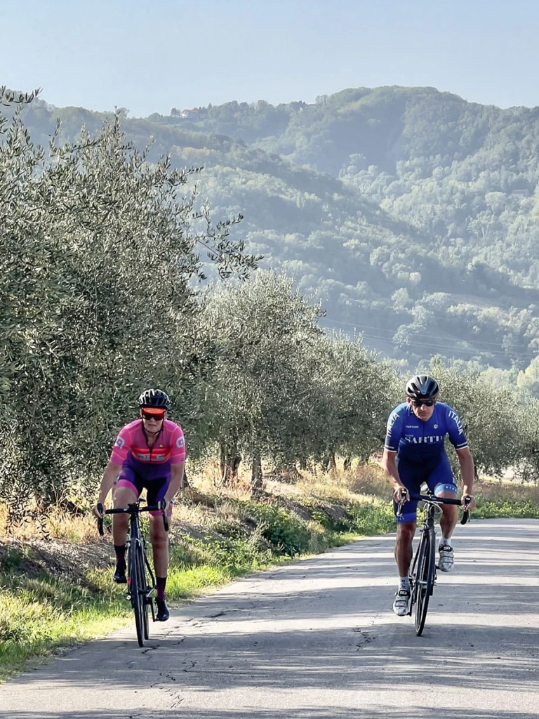
Set off together with our guides to discover medieval villages, castles, ancient churches, farmhouses and cellars where you can recharge your batteries, or set off alone with the advice and assistance of our experts. We will provide you with detailed maps and route tabs to explore our territory independently and safely.
The excursions cover a wide range of destinations, including cities of art such as Urbino and Ravenna, and breathtaking landscapes such as the Po Delta, and hills overlooking the sea.
Bike routes


Our Mountain Bike routes for adventure-seeking bikers
Mountain biking, a particular form of cycling that finds an ever-increasing number of fans. The Hotel Sarti is also equipped for this sporting discipline and is able to accompany the guest off the common routes.


